Abbott Ice and Packing Plant Map, 1896-97
 |
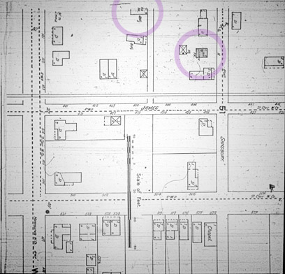
| Abbott Ice and Packing Plant, Sanborn Map Company, 1896. The Abbott Ice and Packing Plant was organized in 1895 by August Abbott. The plant site is in the block at the top left corner of this map, at the corner of James and Walnut Streets. A building in this block is labeled "Ice House". The buildings labeled "D" are dwellings and buildings with large "X"s spanning their roofs are stables. The next block to the right contains a building labeled "Sausage Factory". The ice house, or the sausage factory, or both may have been the original buildings in the Abbott Ice and Packing Plant. Click on the image for a larger version of the map or zoom in to the block containing the plant. The 1901 Sanborn map shows the ice house, but not the sausage factory. See the Abbott Ice and Packing Plant story for more information about the company. |
Source:
Sanborn Map Company, 1896
What are the Sanborn fire insurance maps?
 |
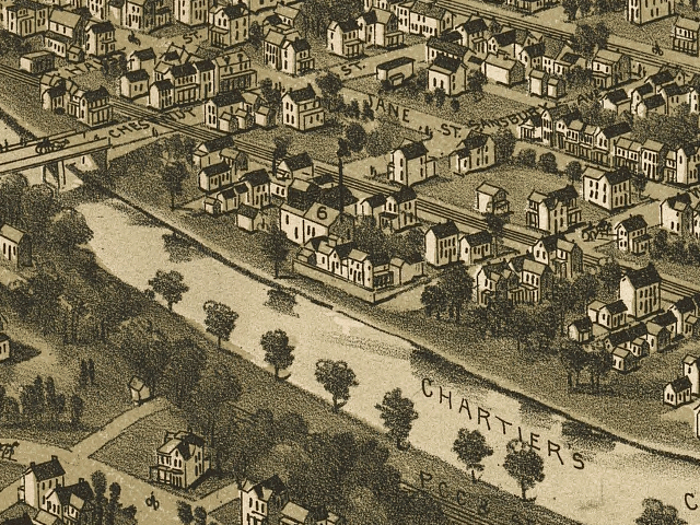
| Abbott Ice and Packing Plant Map, 1897, drawn by T. M Fowler. U.S. Library of Congress Collection. |
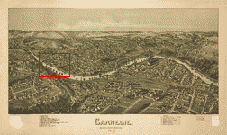
The Abbott Ice and Packing Plant is building number 6 on the map, at the center of the image. The reference map below, shows the location of this close-up view within the entire map of Carnegie, Pennsylvania. See the Abbott Ice and Packing Plant story.
 |
| Location of the above close-up map within the entire Carnegie, Pennsylvania, Map, 1897, drawn by T. M Fowler. U.S. Library of Congress Collection. Click on the map for a larger version. |
Source:
Library of Congress Geography and Map Division, Washington, D.C. 20540-4650 USA
Call number: G3824.C314A3 1897 .F6 Fow 72
http://hdl.loc.gov/loc.gmd/g3824c.pm007480